January, 2023
Located between the medieval city walls and north of the River Wensum, Magdalen Street runs through the center. Over-the-Water is the loose translation of Ultra Aquam.
Following a Viking invasion in 1004, most of Norwich was destroyed. The area south of the river was rebuilt first, then the area to the north. Once the walls were built in 1290 AD, the area north of the river gradually became known unofficially as Over-the-Water until the Tudors started to use the name more formally in official documents and taxes.
Over-the-Water was one of four wards created inside the city walls between 1404 AD and 1835 AD, the others being Conisford, Mancroft, and Wymer.
The ward was known as Norwich Over the Water until 1835, when an act of Parliament reorganised the City of Norwich and surrounding areas, thus ending the official use of the name.
That was until the 1970s, when a group was formed to campaign for the improvement of the city north of the river. Norwich Over the Water was revived as a result.
 Bracondale is the main historic route leading out of Norwich to the south.
It gets its name from "a dale of bracken," with dale being a valley and bracken being a type of fern. This name hints at the formerly rural aspects of this part of the city.
Although there are some buildings that date prior, it was not really until the 18th century that development began outside the city walls.
In 1850, Jeremiah Colman (of Colman’s Mustard notoriety) bought land at Carrow and established Carrow Works. This in turn had a great impact on the area surrounding it, which continued to change with a number of high-quality, small-scale housing developments in the 20th century.
Because of the high quality and varied nature of the historic buildings and the many mature trees in the area, Bracondale was designated a conservation area in 1970.
The parish of Lakenham is another historic area of Norwich, located at a bridging point over the rivers Yare and Tas. It was historically small and spread out. Urban sprawl spreading out from Norwich enveloped the area, drastically changing the setting. It gets its name from its location near a large body of water or a lake.
It was a popular spot for day trips from the city during the 18th and 19th centuries when there were many "spring gardens" because it was a picture-perfect rural retreat close to the river. The community was well-known for its sizable working mill in the late 19th century, and from the early 1900s until its regrettable closure in 1992, it was also well-known for its outdoor swimming pool.

Trowse-with-Newton or Trowse-Newton are the proper names for the community. The original size of Newton was greater than that of Trowse, which served as its outlying estate. Trowse has been referred to at various points in time as Trows, Treus, or Treussa, with the name allegedly deriving from the Saxon term "tree-house," which refers to a wooden home.
Trowse as we know it today is largely thanks to the Colman family, who acquired a sizable estate that was a part of it. The village was in dire straits when they bought it. In fact, one of its yards, Lent Yard, was known as "the slums of Trowse," and it appears that the village attracted undesirable individuals who had been expelled from Norwich. As part of their effort to create a "cradle to grave" welfare state in miniature, the Colmans set about converting Trowse into a "model village."
The Colmans constructed semi-detached homes for their foremen and terraced homes for their laborers. They erected a congregational chapel and the current village school in 1870. In 1890, retirement homes at the Dell were added.
Although the Parish of Eaton is now recognized as a largely modern 20th-century suburb, the original village's history dates back much further. It began as a settlement that grew around the crossroads near the River Yare on the main road connecting the ancient towns of Norwich and Thetford. Its name is derived from the old English meaning: 'town on a river'
The parish's history can be found in ancient documents like the Domesday Book, which notes Eaton as the Kings' Land held by Edric of Laxfield, a wealthy and influential Saxon and the third largest landholder in the region.
Previously known as Eaton Lane, the road that runs through Eaton is now known as Eaton Street. The Norwich to Thetford Turnpike Trust was established in 1779 to improve the road for travelers, and tolls were used to fund this project. On the Cringleford Bridge, a toll gate was installed in order to collect money for the Cringleford to Hethersett section. In 1784, the first stagecoach from Norwich to London went through the toll.
Additionally, Eaton had a strong reputation for its beer. It is known that Robert Holmes, the sheriff of Norwich in 1646, ran his first brewery between the early and middle of the 17th century. The door of the Red Lion Public House was inscribed with his initials and the year 1643.
Some people consider the Red Lion to be among the best local historic homes. Initially, it served as a gathering place for gentry from the surrounding countryside and influential men from the city. Horses would have had shelter in stables at the back of the property while their owners sipped the house-brewed ale.
The Domesday Book from 1086 refers to Cringleford as "Kringelforda," which is a hybrid of old Norse (kringla "a circle") and old English (ford, "a ford"). Possibly referring to a "round-hill ford" or another circular or "twisted" topographical feature There has been evidence of human habitation in the region since Roman and Bronze Age times, and a village existed here at least as early as the Saxon period.
The limestone Cringleford Bridge was built in 1519 AD and spans the River Yare. It is a Grade II-listed structure that was initially constructed of wood but was destroyed by powerful floods. The bridge was later rebuilt using brick and limestone. When Queen Elizabeth I and the Duke of Norfolk visited Norwich, as well as when Robert Kett and his men marched to Norwich in 1549, they would have crossed this bridge.
So good they named it twice! Thorpe is a variant of the Middle English word thorp, meaning hamlet or small village—"Hamlet Hamlet."
Despite the fact that Thorpe Hamlet appears to be a quiet and isolated suburb of Norwich today, the region has been inhabited for many centuries and has an incredibly rich history. On January 8th, 1991, Thorpe Hamlet received the conservation area designation.
The region was formerly a portion of the Manor of Thorpe, which Henry I granted to Bishop Herbert de Losinga in 1101 (he was also the person who commissioned the cathedral). According to archeological findings, an ancient Roman road that later came to be known as the Pilgrim's Way passed through Thorpe Hamlet, over the River at Bishop Bridge, up Gas Hill, and through the Mousehold Estate.
Chalk, clay, sand, and gravel make up the majority of the land's geology in Thorpe Hamlet. Before any residential construction, the chalk hills, which are to the west and rise steeply above the river, were frequently worked out for lime burning. A number of pits were created, and Lollard's Pit, one of them, rose to notoriety in the 16th century as a site for the execution of heretics.
In 1908, a large pit off Rosary Road was converted into a football field. The area surrounding the slope still has many old chalk tunnels that were initially used for storage, stabling, and even as an air raid shelter during World War II. Some of the material removed from these chalk workings is rumored to have been used in the construction of Norwich Cathedral in the eleventh century.
This area of Thorpe Hamlet (then known as Mousehold) was chosen by the rebel leader Robert Kett and his followers as the location for the so-called "King's Great Camp" in 1549 during a revolt in Norfolk that was largely sparked by the wealthy's appropriation of land. Thus, "Camp Road" and "Kett's Hill" were given. St. Leonard's Priory, which is close by at the top of Gas Hill, as well as the ruins of St. Michael's Chapel on the ridge, served as Kett's headquarters. The benefits of positioning the camp in such a strategic and dominant location more than made up for the fact that free economic access to the city was not permitted. It is noted that Kett was only defeated when he abandoned the camp and faced the Earl of Warwick on level, open ground. From this prominence, Kett could indeed dominate Norwich, which was sprawled out and essentially defenseless below the chalk hills.
Sprow's-ton (with "ton" meaning "town," "farm or "village") was most likely founded during the Danish invasion in the ninth century. Sprow is a Scandinavian name most probable a Norse invader. At the time of its initial mention in the Domesday Book in 1086, Sprowston was a small, somewhat run-down village with two holdings.
Sprowestuna-tun, which means settlement, enclosure, or farm, was given to the area formerly known as Sprow's settlement. In the 15th century, Sprowestuna become one community and in 1560 Sprowston Hall was built near the church proving Sprowston to be a single Manor and Parish.
Sprowston had a sizable area to the north of Norwich City and extended to Beeston, Catton, and Thorpe, but it had a small population.
Although there is evidence of the church in the records dating from the early 12th century, the Parish Church was not finished until the 14th century.
Large numbers of people died as a result of the Black Death between 1348 and 1368, which also changed farming practices and caused habitational areas to move. Up until the 1400s, when arable farming took off and led to changes involving more farm workers but fewer shepherds, heathland supported sheep farming and the trade in woollen cloth.
Due to the numerous flint tools that have been discovered in and around Hellesdon, it is believed that this suburb has been inhabited for at least 4,000 years. These tools show signs of very early settlement. Near Hellesdon Hall, a number of bronze axe heads were discovered, and nearby on Low Road, a skeleton from about 600 AD was found.
The name directly translates to "Haegal's Hill" or "the hill of a man named Haegal" because Helles is the Old English translation of the name Haegal and don means hill. and is first mentioned in a document dating to 985
In Hellesdon, Mann Egerton began producing H1s, Spads, and Type B seaplanes in 1915. The Ring Road construction project started in the 1920s, greatly enhancing Hellesdon's accessibility.
Passengers can fly directly from Schipol Airport in Amsterdam to a number of European nations and other destinations via Norwich International Airport, which is located in Hellesdon.
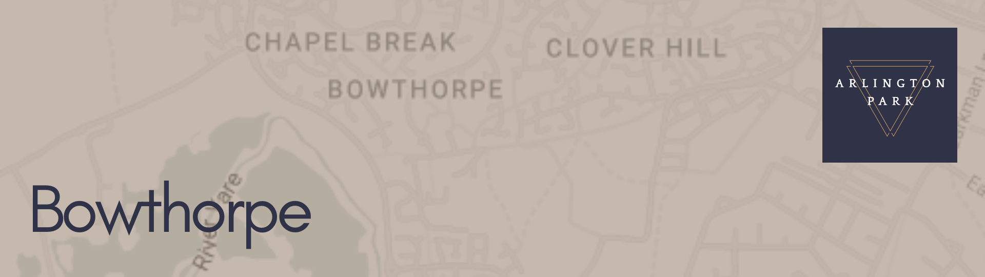
Bowthorpe
With the discovery of tools and coins that are now kept in the Castle Museum, Bowthorpe, which is located on the western outskirts of Norwich and 5 miles from the city center, offers evidence of early settlements. Clover Hill, Chapel Break, Three Score, and Bowthorpe Industrial Estate are the four distinct sections that make up this area.
The placename derives from Old Norse; bogi 'bow arch' (probably referring to a bend in the river Yare) + Old English; thorp settlement/farmstead
Bowthorpe is described in the Domesday Book as having 19 households and being primarily owned by William the Conqueror.
Catton
Three miles to the north of the city, on high ground, is Catton, which is divided into Old Catton and New Catton. Archaeological discoveries indicate that Old Catton was inhabited as early as the Stone Age, and later discoveries uncovered Bronze Age and Roman artifacts.
The name Catton most likely refers to the town (or Tun) of a tribal leader by the name of Catta. The presence of wild cats in the area, which are now depicted on the village sign, was another explanation that might apply. The settlement was mentioned in the 1086 Domesday Book.
During the booming wool manufacturing era, wealthy merchants were relocating from the city to places like Catton in search of larger homes. Jeremiah Ives, a wealthy wool merchant and twice-elected mayor of Norwich, was one such individual. He built Catton Hall in 1780 under the direction of architect William Wilkins.
Like all areas of Norwich, Catton has experienced significant population growth. Its population was 634 in 1911, but by the time of the 2011 Census, it had grown to 6,108.
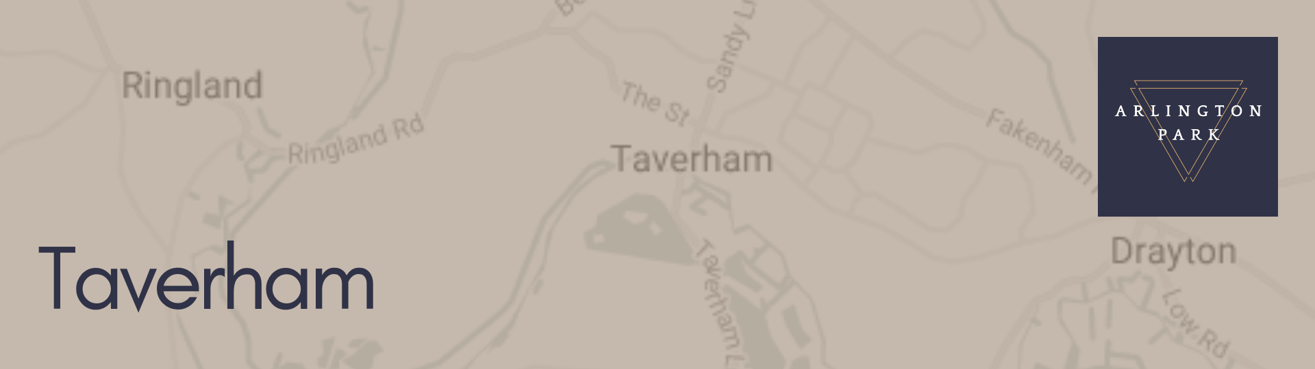
Taverham
Axe and arrow heads made of flint, as well as Roman coins and pottery dated to 100 AD, have been discovered in the area, indicating that Taverham had been inhabited since around 2000 BC. Taverham is first mentioned in records during the reign of Edward the Confessor (1042–1066). Harold, his son, owned 100 acres of this land up until the Norman Conquest.
Taverham had a paper mill up until about 1899. The paper mill produced very high-quality paper back when it was in its heyday, but today all that is left are the sluice box remnants. In addition to printing daily newspapers like "The Times," it was also used to print bank notes, bibles, the Oxford Dictionary, and several other books.
The houses were dispersed throughout the village up until the 1960s and 1970s, but in recent years Taverham's population has significantly increased, making it a very sought-after area. Its population increased from about 700 in 1951 to over 6,000 in 1990.
Anglo-Saxons used the word "ham" to refer to a house or village. It is suggested that it takes its name from Tav or Tavy, an old English name for a river and means a village by the Tav.
Mousehold Heath
A unique 184 acre space north of Norwich that consists of heathland, woodland, and open space. The largest nature reserve local to Norwich is renowned for its wildlife. It serves as a getaway from the hectic pace of city life with beautiful views of the entire area.
Mousehold Heath was 22 miles in diameter and extended as far north as South Walsham during the Tudor era. In 1880, Norwich City Council received the last remaining piece of the heath to care for on behalf of the city's residents.
The Mousehold Heath Confirmation Act, an agreement that codified this, was passed by Parliament. The Mousehold Heath Conservators, a separate body in charge of the heath, were established in 1884.
Mousehold Heath had an open, treeless landscape typical of a heathland until the early 1900s. The area was kept open by grazing animals and by locals gathering fuel for the winter as well as bedding and feed for livestock. These customs vanished as people's lifestyles altered. As a result, open heath gradually gave way to scrub and woodland.

Heartsease
Heartsease was formerly farmland. It served as a drill area for the Norfolk Regiment at the start of the 20th century. The Royal Flying Corps took control of it in October 1914, renaming it RAF Mousehold Heath. It was the first airport in Norwich when it opened in 1933, but by World War II, it had been abandoned. The aerodrome was home to a number of regional businesses that made aircraft.
After World War II, construction on the estate started, and it was finished by the mid-1950s. A large portion of the housing is terraced and includes both maisonettes and two-story apartment buildings. Three tower blocks constructed in the 1960s have been added, along with some infilling done in later years.
Heartsease takes its name from a common European wild flower.
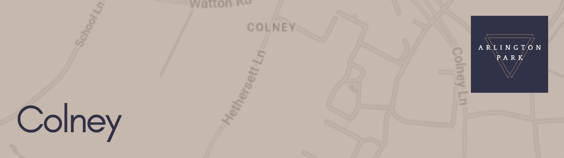
Colney
derives from the old English/Anglo Saxon words "Col," which may have been the name of an early settler, and "Ney," which means "island." Usually describes a dry area surrounded by marsh in the names of ancient settlements.
One of the largest teaching hospitals in the UK, which opened its doors in 2001 and is now one of the largest employers in Norfolk with a team of 8,000 staff members working together to provide care for the local area, is located in Colney.
Hugh Gurney Barclay, the vice chairman of Barclays Bank, once resided at Colney Hall, which is another well-known local landmark. A network of caves can be found on the property, and two pet lions once lived there.
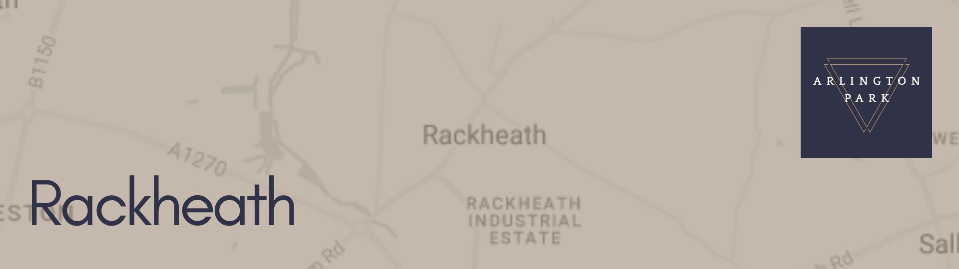
Rackheath
Although the name's origins are unknown, it may be related to an Old English expression that meant "landing-place near a gully."
Numerous pieces of worked flint were discovered at a likely flint-working site in Rackheath. There may have been lithic production here during the prehistoric era based on the sheer volume of flint fragments found. Additionally, a significant number of Neolithic flint axeheads have been discovered in Rackheath.
This area was home to a crucial airfield that the United States Air Force used as a base for B-24 Liberator bombers during World War Two. It served as a satellite field for Horsham St. Faith. Following the war, farming and private use were resumed on the property. Although many of the runways were destroyed, some of them still exist, along with the control tower, which is now owned by a private company. A memorial was erected close to the village sign in recognition of how appreciative the Americans were to have access to the Rackheath airfield.